
So, you want to learn GIS because you keep seeing job postings that list it as a required skill.
Or your advisor told you that you have to.
Or you just have a passionate desire to learn all about spatial technologies.
Well, regardless, I am glad to you are here! There are a lot of GIS and spatial analysis packages out there these days and figuring out which one is best for you can be a little intimidating. In my work, I use a lot of different ones, so I thought it might be useful to give an overview of what I think are the strengths and weaknesses of each. To be perfectly clear, in a given week, I probably use all three of the main ones for different tasks or projects, so they really are complimentary.
(If you have no idea what GIS is, here is a video where I go over the basics!)
ArcMap
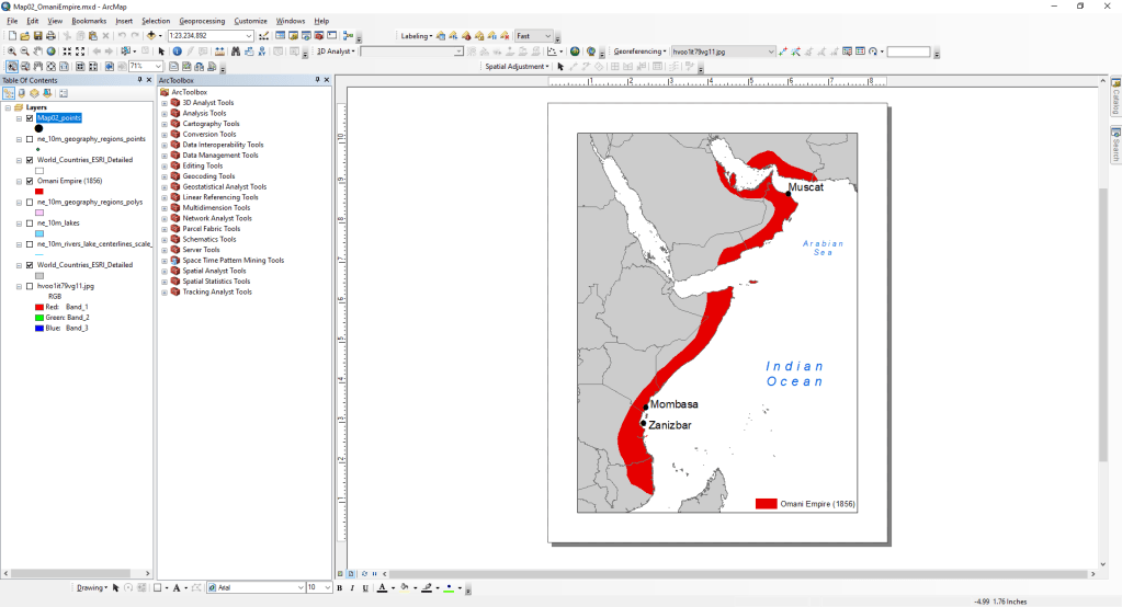
The old standard, ArcMap has been around since the late 1990’s and often feels like it is even older. It can do almost anything you would want a GIS program to do. It has a powerful, if slow and clunky, interface. It is also expensive, with some functionality put into even more costly add-on extensions. The other main restriction is that it only runs on PCs. That being said, ArcMap has, for the last few decades, been the industry standard GIS program. If you see a job posting asking for GIS skills, chances are still good that they are going to hand you ArcMap on day one.
However, ArcMap is on its way out. ESRI, the company that makes everything Arc, recently announced that the current version of the software is the last and support will stop in 2026. This may seem like a long time, but for software that has been showing its age for the last decade, I can only imagine the lag getting worse. That being said, a lot of companies, governments and academic centers depend on ArcMap, so if you need to learn this package, it is not a wasted skill. I would still expect plenty of job postings to list it as a core skill over the coming years.
Recommendation: If you are already familiar with ArcMap, it is not going anywhere for a little while, but I wouldn’t recommend starting off with it right now unless your job or professor tells you to.
ArcGIS Pro
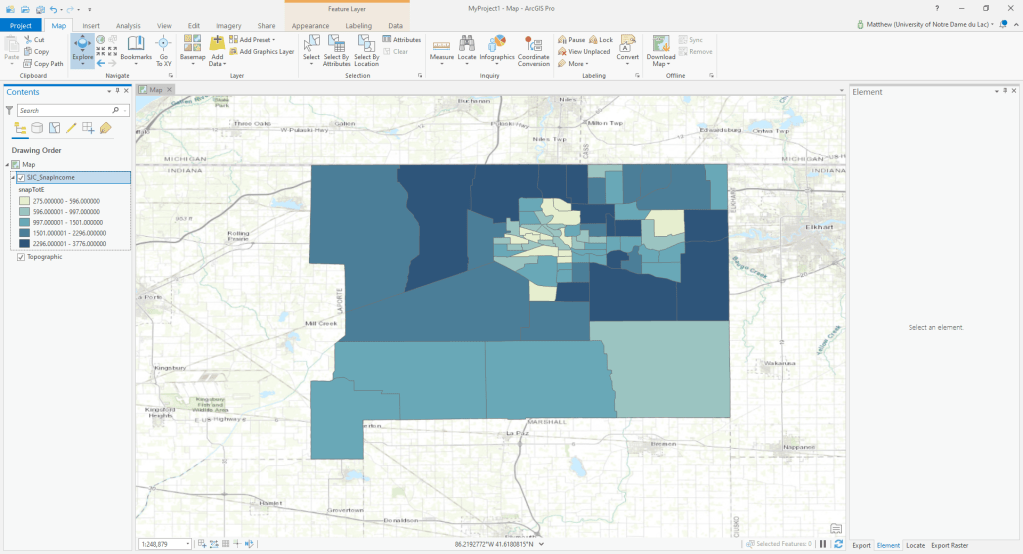
ArcGIS Pro is ESRI’s replacement for ArcGIS Desktop. It is based on a mostly new code-base, so it is overcomes some of the chunkiness of ArcMap. It feels and looks like modern software and has a much more robust integration with online content than ArcMap. However, it is credit-based, so a lot of the analyses that used to be part of your standard cost are done on a per-use basis. This can be both an advantage (if you don’t do a lot a of computational analysis) or a disadvantage (if you do). The software remains PC-only. It also requires an internet connection for some analysis and licensing. Although there are ways around that, I still don’t always recommend ArcGIS Pro for field work in uncertain conditions. One of its main strengths is easy access to a lot of cloud-based data (like demographics, roads or topography) cutting out a major step in a lot of GIS workflows.
Recommendation: If you work someplace that licenses ArcGIS or other ESRI products, ArcGIS Pro will probably be something you need to use or will transition to in the next few years. It provides a much faster performance than ArcMap and some great integrations into cloud based data in ArcGIS Online and their Living Atlas. Though all of that data availability comes with a price tag!
qGIS

qGIS has also been around for a long time now. It is an open-source, free software package that can run on PCs, Macs, or Linux computers (even low end computers or android devices). It is similar to ArcMap in layout and tools but has a robust community of people working on extensions and upgrades (all of which are also free). While there are some tools that are not available in qGIS, it is a smaller list every year (and there are many that are only available in qGIS). Although the interface is a little different than ArcMap, the same sorts of tools are all available, so the learning curve to go back and forth between them is relatively flat. The main weaknesses of qGIS is that publishing online maps is more difficult (though hardly impossible).
Recommendation: qGIS is becoming my favorite of the main programs, although I often come back to using ArcGIS. It is quick, stable and has none of the frills that tend to slow down the commercial projects. It is also totally free so if you are not affiliated with a company or university that pays for an ArcGIS license, it is a very good option.
Others:
GRASS: For a long time, GRASS was the main place that intense academic GIS work got done. It is still around and extremely powerful, but the file structure and organization is somewhat different than other GIS programs, so it has somewhat fallen out of favor. Plus most of the advanced tools that made GRASS really special have been incorporated into qGIS.
DivaGIS: DivaGIS is another free and open source GIS project. It still exists although it has not been updated since 2012, still provides a pretty good place to access some basic spatial data for individual countries .
R: The R programing language can function a lot like a GIS program as well. Although it has some limitations, I do most of my heavily quantitative stuff in R. This is a topic I will talk more about in a future post. R has the advantage of being very fast for a lot of things, but it does require knowing a least a little about how to program. There are a lot of great tutorials for leaning to do spatial analysis in R.
Anyways, thanks for reading. There are so many good programs for getting started with GIS! If you have one that I did not mention that you love, feel free to leave it in the comments!
