
A brief overview of the strengths and weaknesses of the major GIS programs in 2021
Author Archives: msisk1
Neutrality and the academic library

Recently at work, we had a meeting derail into an impromptu discussion about the neutrality of the academic library. Although it was presented as an absolute fact and a core tenet of the profession, the discussion got a little heated. This is obviously a topic that the library world is grappling with. Having thought aboutContinue reading “Neutrality and the academic library”
Finding topographic data for CAD projects: Using qGIS (3/3)
In the first of this series, I demonstrated how to download topographic data from free sources for the United States or the world. Now that we have those files downloaded, we need to process them to be ready for our CAD conversion. In the second of this series, I showed how to do the conversionContinue reading “Finding topographic data for CAD projects: Using qGIS (3/3)”
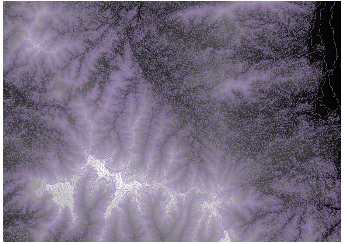
Finding topographic data for CAD projects: Using ArcGIS (2/3)
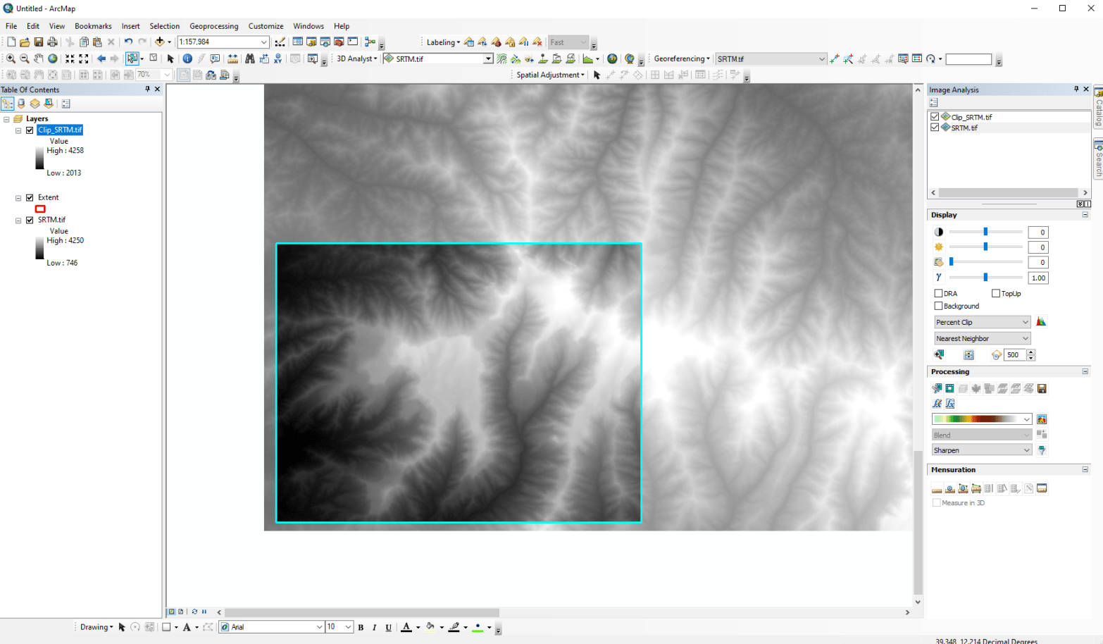
In the previous post, I demonstrated how to download topographic data from free sources for the United States or the world. Now that we have those files downloaded, we need to process them to be ready for our CAD conversion. There are two main options for GIS software: qGIS and ArcGIS. Although either will workContinue reading “Finding topographic data for CAD projects: Using ArcGIS (2/3)”
Finding topographic data for CAD projects (1/3)
I am pretty regularly asked by architects and engineers to find topographic data for some random spot in the world. This is not a particularly hard task for a GIS-minded person. But there are often two additional complexities in delivering these. They need contour lines at a specific interval They need the data to beContinue reading “Finding topographic data for CAD projects (1/3)”
What is GIS anyways (video)?
Here is a quick video that I recorded a few years ago on the very basics of GIS.
